Fail:South Sudan adm location map.svg

Fail asli (Fail SVG, ukuran dasar 1,561 × 1,133 piksel, saiz fail: 201 KB)
Ringkasan
| Keterangan |
Deutsch: Positionskarte von Südsudan
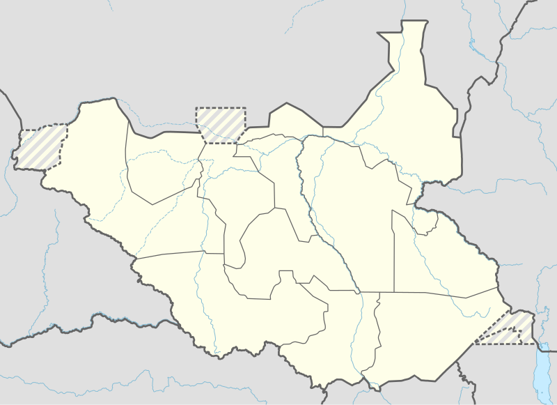
English: Location map of South Sudan
|
||||||||||||
| Tarikh | |||||||||||||
| Sumber |
Own work using:
|
||||||||||||
| Pengarang | NordNordWest | ||||||||||||
| Versi lain |
|
||||||||||||
_adm_location_map.svg)
_adm_location_map.svg)


|
This map has been made or improved in the German Kartenwerkstatt (Map Lab). You can propose maps to improve as well.
|
Perlesenan
Usage of this file with:

explanatory notes: Legally binding is only the full legalcode. For a free usage I recommend to respect the following licence conditions:
1. Provide my name as given above: NordNordWest,
2. a copy of, or the URI for, the applicable license: https://creativecommons.org/licenses/by-sa/3.0/de/legalcode,
3. the title of the work,
4. in the case of an adaptation, a credit identifying the use of the work in the adaptation.
This license and the rights granted hereunder will terminate automatically upon any breach by you of the terms of this license. Any of the above conditions can be waived if you get permission from the copyright holder. If you have questions or wish differing conditions, please contact me through nnwest or my discussion page ![]() t-online.de
t-online.de
- Anda bebas:
- untuk berkongsi – untuk menyalin, mengedar dan memindah hasil kerja
- untuk mencampur semula – untuk menyesuaikan karya
- Di bawah syarat berikut:
- pengiktirafan – Anda mesti memberi penghargaan yang berpatutan, bekalkan pautan ke lesen, dan tunjukkan jika perubahan telah dibuat. Anda boleh lakukannya dalam sebarang cara yang munasabah, tetapi bukan dalam sebarang cara yang mencadangkan pemberi lesen mengendors anda atau penggunaan anda.
- perkongsian serupa – Jika anda mengubah, adun semula, atau menokok tambah bahan, anda mesti menyebarkan sumbangan anda di bawah lesen yang sama atau serasi dengan yang asal.

Sejarah fail
Klik pada tarikh/waktu untuk melihat rupa fail tersebut pada waktu itu.
| Tarikh/Waktu | Gambar kenit | Ukuran | Pengguna | Komen | |
|---|---|---|---|---|---|
| semasa | 18:25, 23 April 2020 | | 1,561 × 1,133 (201 KB) | Leviavery | Added Pibor and Ruweng Administrative Areas |
| 16:16, 25 Februari 2020 |  | 1,561 × 1,133 (199 KB) | Myrabert01 | Reverted to version as of 13:47, 25 February 2020 (UTC) South Sudan revert back to 10 States. https://www.aljazeera.com/news/2020/02/6-years-war-peace-finally-south-sudan-200223114919537.html | |
| 14:39, 25 Februari 2020 |  | 1,561 × 1,133 (213 KB) | NordNordWest | Reverted to version as of 14:39, 13 August 2016 (UTC); no reason for this revert | |
| 13:47, 25 Februari 2020 |  | 1,561 × 1,133 (199 KB) | Myrabert01 | Reverted to version as of 18:18, 12 November 2014 (UTC). South Sudan revert back to 10 States. | |
| 14:39, 13 Ogos 2016 |  | 1,561 × 1,133 (213 KB) | NordNordWest | corr | |
| 12:31, 12 Ogos 2016 |  | 1,561 × 1,133 (214 KB) | NordNordWest | upd, new states | |
| 18:18, 12 November 2014 |  | 1,561 × 1,133 (199 KB) | NordNordWest | == {{int:filedesc}} == {{Information |Description= {{de|1=Positionskarte von Südsudan}} {{en|1=Location map of South Sudan}} {{Location map series N |stretching=101 |top=12.7 |bottom=3.2 |left=23.15 |right=36.4 }} |Source={{Own using}} * United States... |
Penggunaan fail
11 buah laman berikut menggunakan fail ini:
Penggunaan fail sejagat
Fail ini digunakan oleh wiki-wiki lain yang berikut:
- Penggunaan di ab.wikipedia.org
- Penggunaan di af.wikipedia.org
- Penggunaan di an.wikipedia.org
- Penggunaan di ast.wikipedia.org
- Penggunaan di av.wikipedia.org
- Penggunaan di azb.wikipedia.org
- Penggunaan di az.wikipedia.org
- Penggunaan di be.wikipedia.org
- Penggunaan di bg.wikipedia.org
- Penggunaan di bn.wikipedia.org
- Penggunaan di bs.wikipedia.org
- Penggunaan di ceb.wikipedia.org
Lihat banyak lagi penggunaan sejagat bagi fail ini.